

Google Maps ships as the default navigation app on almost all Android phones, helping millions of users daily to check for directions, traffic status, and more.
However, you can use Google Maps for more than just turn-by-turn navigation. From helping plan vacations with detailed local insights to retracing your steps on a specific day, it can be a powerful travel companion and a local discovery tool.
Here are six underrated Google Maps features that I quietly use that make a big difference in everyday use.
6
Relive your journeys with Timeline
Your personal travel log
Google Maps stores a timeline of all the places you visit. You might not think much of this feature at first, but if you travel a lot, it can become like a journal.
It’s especially handy if you need to retrace the places you visited a few years ago.
For instance, I had an amazing shake at a local café in Barcelona in 2017. When I returned to the city in 2024, I wanted to revisit the same café with my wife.
However, I couldn’t remember its name, nor could I find any photos of it in my Google Photos library. So, I turned to Google Timeline, went back to the month I visited Barcelona in 2017, retraced my steps, and found the café.
It’s also great for rediscovering hidden spots I stumbled upon years ago while driving — the ones I forgot to save in Google Maps but always wanted to visit again.
Similarly, I love being able to see when I last visited one of our favorite restaurants and plan our next trip accordingly.
Timeline view can help if you are retracing your steps to find a lost or misplaced item. My friends use the feature to log distances for fuel reimbursements for their work.
5
Real-time location sharing
Keeping tabs on loved ones with ease
Another feature of Google Maps that you must use more: location sharing. It allows you to share your real-time location with friends or family for a specified time.
When traveling with my family, I ensure my mom and dad’s locations are shared with me. Since they aren’t familiar with Google Maps, location sharing lets me track their whereabouts and allows me to get to them if they get lost.
Likewise, I share my dad’s location with myself when he travels to his hometown each year by car. This way, I can ensure the driver is taking the correct route, suggest good spots for breaks and meals, and keep track of his journey.
Location sharing in Google Maps is incredibly useful when traveling in large groups. The group leader can keep track of everyone’s whereabouts and trace them if they are lost.
4
Find your way inside, not just outside
Your guide inside buildings
You can use Google Maps to navigate not just to a place but also within it. It’s one of the app’s best features beyond providing navigation directions.
When inside malls you are visiting for the first time, you can use Google Maps to quickly find stores or sections that interest you, ensuring you don’t have to wander around aimlessly and saving precious time.
It’s a great way to quickly check up on reviews and timings of stores and then decide if they are worth visiting.
For restaurants, Google Maps lists their menus along with the expected price range. I often use the summarized review section to quickly see which dishes are most popular at a particular eatery and then decide if I should go or not.
Indoor navigation is incredibly useful in airports, too, helping you find the nearest bathroom, the right terminal gate, or your favorite burger joint.
3
Check crowd levels in real time
Plan around peak hours
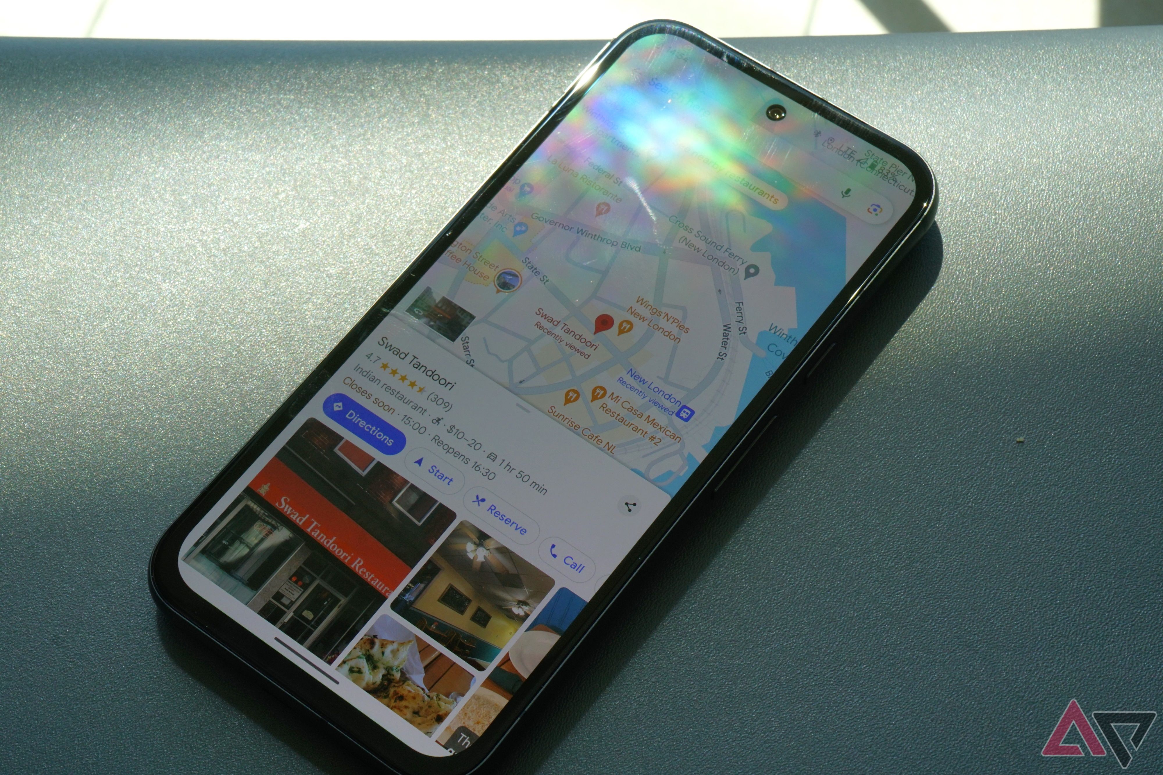
When traveling to touristy destinations, you can check how busy an area can be using the area busyness data in Google Maps. It shows this data for popular places like stores, restaurants, parks, and cafés.
I use this data to decide when to travel to a touristy destination. For example, if I plan an outing to Barcelona’s Plaça de Catalunya or Park Güell, I check the popular times to get an idea of how much crowd to expect.
The feature also shows how long visitors typically stay, helping me plan the best time to go and how much of my day to set aside for the visit.
Google Maps even displays the ticket prices and experiences for easy booking as well.
Similarly, I can plan my weekends better by avoiding places with high footfall and instead going somewhere quiet.
That’s not all. Google Maps displays the live bus and train crowd levels in select cities as well. And when traveling with family and kids, it can be a lifesaver as I can wait an extra 20 minutes to take a less crowded metro.
2
Explore every angle with Immersive and Street View
Get a virtual preview
Immersive view in Google Maps provides a 3D view of buildings, landmarks, and other items of interest.
It essentially uses Street View data and aerial images to provide a 3D world model to provide a more detailed, in-depth preview.
With Immersive View, you can get a top-down 3D look at a place you plan to visit, making it easier to visualize the area and plan your trip more effectively.
When traveling with my family to an international destination, I always use Google Maps’ Immersive View to get a better sense of the neighborhood where I’m booking an Airbnb or hotel.
Immersive View is not available in all locations, and in such cases, I fall back on Street View. I also use this feature to get a visual idea of the location and how close the nearest restaurants and grocery stores are.
1
Helping others find places worth discovering
Turning hidden gems into must-visits
You can contribute to Google Maps through the Local Guide program to make the data better. So, for instance, if you come across a store that has permanently closed, you can mark it as closed in Google Maps to help others.
Some people might not think much of it, but if you use Google Maps heavily, making regular contributions can help you feel part of the community.
Google provides points based on your contribution, making the process feel like a game.
You are upgraded to a new Local Guide level based on the accumulated points, with Google offering special perks at higher levels, like early access to new features, invites to exclusive events, and community recognition.
I’m an active Level 9 contributor to the Local Guides program with over 53,000 points. I capture photos and videos of nearly every store and place I visit to upload to Google Maps.
Beyond the perks, my contributions and reviews help bring lesser-known cafés and businesses into the spotlight and expand their reach.
It feels amazing to see your photos and place edits rack up thousands of views, knowing you’ve played a small but meaningful role in boosting a business’s visibility.
There’s more to Google Maps than you think
If you use Google Maps solely for navigation purposes, you are barely scratching the surface of what it can do.
There’s more to the service than just helping you go from point A to point B, with its other features being equally helpful.
Besides the ones mentioned above, you can use Google Maps to save your parking location, find eco-friendly routes if you drive an EV, or plan a trip with multiple stops in one go.
No wonder Google Maps is the world’s most popular navigation and mapping app. It truly deserves that spot.